
Walk a Camillus Street by Address
Start with one precise address, not a name list. The assessment layer can identify the parcel, its situs, and the person or entity assessed for tax purposes. From there, the Onondaga map and deed index provide different evidence: one places the parcel in space, while the other records legal transfers. A historical directory can add a dated occupant lead. Those are separate findings, so preserve the search date, source title, and spelling used in each result. The assessed owner can be a trust, estate, company, or person who receives tax mail elsewhere, and it does not establish every occupant of the address.
- Use Onondaga County Real Property Information or the legacy Image Mate route. Select Camillus, then begin with the address or parcel number and record the situs, owner, SBL or tax-map identifier, deed reference, and roll year.
- Locate the same address in Onondaga County GIS On the Web. Select the parcel, note the visible layers and nearby identifiers, and export a dated PDF only as an informational map.
- Use the owner name as a grantee search in the Onondaga County Clerk Cott eSearch index. Record the book or document reference and legal description before deciding whether an available image is needed.
- For an individual who chooses to confirm their own registration, use the New York voter lookup with the required identifying information. It is not a public street-browse tool.
- For a past household lead, ask OCPL Local History and Genealogy for an address, reverse, or criss-cross directory volume and compare it with the directory year and the address form printed there.
That sequence keeps the address chain honest: address to parcel, parcel to assessed owner, owner to deed, then lawful self-confirmation or dated historical evidence. A full named-street record trail is different from looking up one person, and the latter calls for a Camillus resident lookup rather than a broad street search.
Camillus Street Directory Property Fields
The county’s property system is the practical entry point for a street directory search because it accepts the legal town selector and an address. Official instructions describe searches by municipality, name, address, and Tax ID or parcel number. The current Beacon transition confirms name, address, and parcel-number searching, but its complete advanced-field list was not verified. Enter one item first, then narrow only if the result set requires it. Capture the roll year because assessment data can change before the final roll and is not guaranteed current or complete.
| Camillus property field | Format or mode | How it helps an address search |
|---|---|---|
| Municipality | Choose Camillus | Sets the legal town before a result is interpreted. |
| Owner name | Optional text search | Finds an assessed owner when a name spelling is known. |
| Situs or property address | Optional text search | Finds the physical parcel location and supports a postal-line comparison. |
| Tax ID or parcel number | Optional text search | Preserves the exact SBL or map key displayed by the record. |
| Assessment roll year | Year link or selection | Shows which current, tentative, final, or archived roll was consulted. |
Camillus Assessor property cards extend from the early 1960s to the present for more than 10,000 town parcels. They can connect inventory and permit-informed changes to a parcel, but that local run is not a deed-history cutoff. The legal transfer trail may be much older.
Browse Camillus Streets in GIS
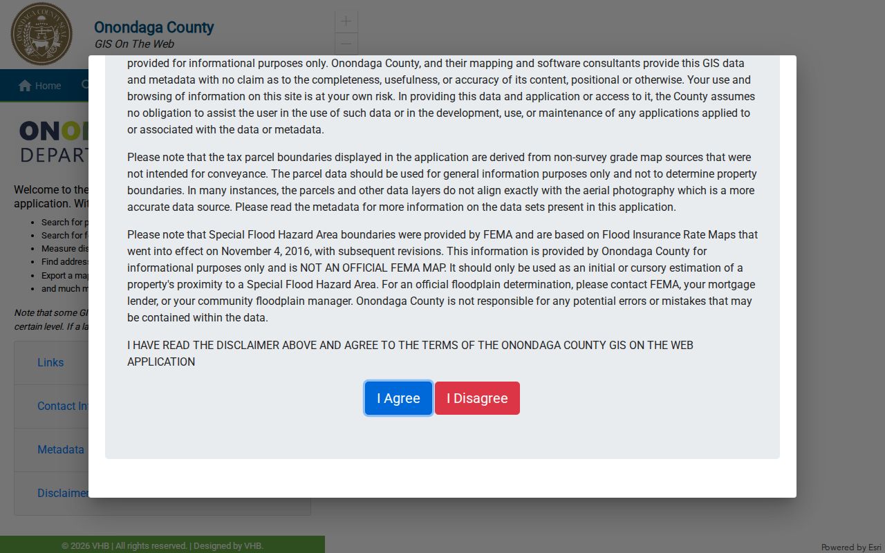
The GIS viewer supports parcel searches by owner or address, an address finder, geometry searches, distance and area measurement, map layers, and PDF export. Pan along a road, click one parcel at a time, and record the displayed parcel identifier before repeating the assessment search. Some layers appear only after zooming to the required scale. Measurements help a researcher understand the map view, but they are not a legal boundary determination.
The Onondaga GIS viewer provides the parcel, address, geometry, measurement, and PDF-export functions shown below.
Use the selected parcel and its dated map context as a bridge to the assessment roll or deed reference, not as a substitute for a recorded deed, tax map, or licensed survey.
Camillus Street Records by Source
Several Camillus record sets can be keyed to an address, but each answers a narrower question. The table separates a current assessment record from a historical directory, a map, or a deed. This prevents an owner field from being reported as a household list and prevents a map label from being used as title evidence.
| Address record | Custodian | Street-level value | Available channel |
|---|---|---|---|
| Assessment roll | Camillus Assessor and RPTS | Assessed owner, situs, values, exemptions, and map reference | Beacon or Image Mate, roll PDF, counter, or phone |
| Property card | Camillus Assessor | Parcel inventory and early-1960s-to-present history | Assessor office and Image Mate where exposed |
| Tax map and GIS parcel | RPTS and County Planning GIS | Parcel geometry, SBL context, layers, and measurements | Public viewer, online map, counter, or mail purchase |
| Deed or easement | Onondaga County Clerk | Grantor, grantee, legal description, and recording history | Free guest index, paid available images, counter, or mail |
| Permit or code file | Camillus Code Enforcement | Construction, alteration, inspection, or enforcement trail | Current Cloudpermit route or direct request for older files |
| Historical criss-cross directory | OCPL LHG | Dated address-to-occupant, telephone, or business context | Print or microfilm with librarian assistance |
Current permits use the Town’s public route, while older paper-file retention and public fields were not verified. Ask Code Enforcement for the address, retained years, copy fee, and any necessary redactions. A narrow written request is more reliable than assuming an old permit can be searched online.
Camillus Street Deeds Since 1794
The County Clerk is the ownership anchor. County land records date to 1794, but the official material does not establish that the online Cott index or its images reach that far. Cott permits free guest index viewing; available document images require an account and subscription, and some indexes have no images. Start with the assessed owner as grantee, then search the prior seller as grantor and, on the next pass, as grantee. Record every book, page, document reference, date, and cross-reference before purchasing an image.
The legal description is the durable link. A house number may be absent, altered, or tied to only part of a larger tract. If a parcel was split or consolidated, carry forward the deed description and map references rather than guessing from a modern street label. Older surnames can include an inserted space in the Cott system; the Clerk specifically suggests searching the second part with the Contains mode for names such as McCarthy. County staff and Cott are not title attorneys, so a chain should be treated as research evidence, not a title opinion.
Note: When the online record stops, ask the County Clerk counter for the oldest book or microfilm reference describing the same legal tract.
Camillus Street Voter Checks Stay Individual
New York’s official voter tool is designed for an individual’s registration, poll-site, and mail-ballot status. It calls for county, last name, first name, date of birth, ZIP code, and address information. It does not provide a public way to browse every voter along a Camillus street. The Onondaga Board of Elections is the contact for registration changes, cancellations, and current status questions at 1000 Erie Blvd. West in Syracuse, by phone at (315) 435-8683, during weekday business hours.
Voter-registration data have added limits. A full-file request goes through the local or state board under FOIL and must include the election-purpose statement required by Election Law § 3-103(5). Confidential registrations under Election Law § 5-508 are withheld from public inspection or copying during the protected period. Do not infer a ballot choice from party enrollment, and do not reproduce a living person’s full date of birth.
Camillus Street Directory Library Routes
For historical occupancy, the first alternative to a failed online search is the OCPL Local History and Genealogy department at the Central Library. Its Syracuse and suburban directory runs include some microfiche from 1844 to 1862, microfilm from 1862 to 1935, and print volumes from 1936 forward, with possible gaps. Ask staff for a reverse or address volume by title and year rather than assuming that every year covers the same Camillus label.
A directory may use Camillus, Fairmount, Warners, Amboy, Belle Isle, a rural post office, or a Syracuse postal line. The library also has census and newspaper pathways that can test an address lead. If remote help is needed, OCPL accepts focused queries by email, phone, or mail; its query guidance asks for a surname, time frame, locality, and a small number of specific questions. The Camillus Historical Society offers family-history and map research by its public contact route, including 1874 local maps.
For a fuller reading of the historical directory shelf, see the Camillus city directory collections. The street record needs the address form and year; the library collection supplies the historical context.
Camillus Street Maps Tell Two Eras
Camillus map research works best as a comparison. The 1874 town and village maps can preserve roads, landmarks, rural lots, and hamlet context. The 1940 Camillus Sanborn item has six sheets and can show a mapped building’s footprint, material, use, street numbering, and nearby labels. Neither map is a list of private occupants, and each has its own coverage limits.
This difference matters when an old directory prints a post office and lot number rather than a house number. Compare road intersections, the old label, the deed description, the tax-map reference, and the relevant map sheet. The Town’s first 20 years of records were destroyed in the 1829 fire, so maps, county deeds, census material, church and cemetery sources, newspapers, and family files can all be needed to bridge an early gap. The fire is a limitation on town records, not proof that an earlier person left no trace.
Camillus Street Postal Lines Differ
Postal city is not legal municipality. Camillus addresses can use the 13031 postal line, while Town offices and some local properties use Syracuse, NY 13219. Preserve the Town of Camillus, village or hamlet, county, postal city, and ZIP as separate fields in notes. A property record can be correct even if its mailing line differs from the situs line, because a mailing-address update affects tax billing and does not change ownership or deed information.
For a particular delivery address, verify the postal result with USPS, then compare it with the parcel situs and deed legal description. Do not make a street list from a generalized ZIP map, and do not use the postal city line to decide whether an address lies within the Town of Camillus.
Camillus Street Record Terms
Address research moves more smoothly when the parcel terms are kept distinct. The same house can have a postal line, a situs, a tax-map key, and a legal description without those labels meaning the same thing.
- Parcel
- A mapped piece of land tracked for assessment and tax purposes. Its displayed SBL or tax-map identifier should be copied exactly.
- Situs address
- The physical location of the parcel. It differs from the owner mailing address used for tax correspondence.
- Plat
- A recorded subdivision or map document that can bridge a lot or block description to parcel and street context.
- Criss-cross directory
- An address-oriented directory used to find a printed name, phone, or business context for a particular street and year.
Keep the source’s spelling and identifier intact. Later comparisons work better when the original address, map key, and legal-description wording are not silently standardized.
Camillus Street Directory Limits
A street directory cannot establish every person who lives at an address. Assessment rolls identify an assessed owner and property facts. Deeds identify parties to transfers. Historical directories record what their publisher printed for a particular date. The official voter tool is an individual confirmation route, not a street roster. Utility customer data, protected voter addresses, sealed files, and other restricted personal information are not filled in by these sources.
Lawful use. Camillus address and property records support personal, historical, civic, and estate research. Never use them to stalk, harass, intimidate, or harm another person.
When results conflict, retain the original record and its date, then contact the custodian that created it. The Assessor can address assessment information, the County Clerk holds land instruments, Code Enforcement can address its files, and the Board of Elections handles voter-registration questions.