
Camillus ZIP Coverage
Official research supports a cautious two-row starting point, not a complete static ZIP roster. USPS controls the answer for a specific delivery address. County maps help visualize the area, but the County expressly labels its ZIP boundaries generalized and not an official USPS map. The Camillus ZIP code directory keeps the postal result distinct from the legal town and preserves the uncertainty around street-level allocation.
| ZIP | Areas Covered | Post Office | Notes |
|---|---|---|---|
| 13031 | Camillus postal line; exact delivery coverage depends on the address | Camillus Post Office, 120 Kasson Rd., Camillus, NY 13031-9998 | Primary starting point for Camillus address checks. USPS lookup controls a specific result. |
| 13219 | Syracuse postal line used by some Town of Camillus locations | Not established by the research | Do not treat as a complete Camillus roster. Exact street-level allocation was not located. |
No official source in the research established an additional ZIP serving the Town. A copied web list would overstate the evidence. Test any other asserted ZIP through USPS by the actual address, then retain its postal city, legal town, county, and source date as separate facts.
Confirm a Camillus ZIP at USPS
USPS is the authority for the delivery ZIP and postal city line attached to a specific address. Use the result as a postal finding, not as a resident list or town-boundary decision. The live page can require browser JavaScript, consent, or a CAPTCHA, and the research did not capture a Camillus result screen. Record what the tool returns and the date of retrieval rather than predicting fields that were not observed.
- Open the USPS ZIP Code Lookup and choose the address route when a complete street address is known.
- Enter the street address, postal city, and New York. Use the ZIP entry route only when a ZIP is the information already available.
- Select Find or Search and complete any live verification control that appears.
- Save the returned postal city, state, ZIP, and retrieval date. Redact a house number from public notes when appropriate.
- Compare the result with the Camillus municipality, assessor situs, tax map, and deed legal description before treating a city line as a jurisdiction.
The USPS Camillus location listing identifies the post office at 120 Kasson Road and supplies the documented 13031 starting point shown here.
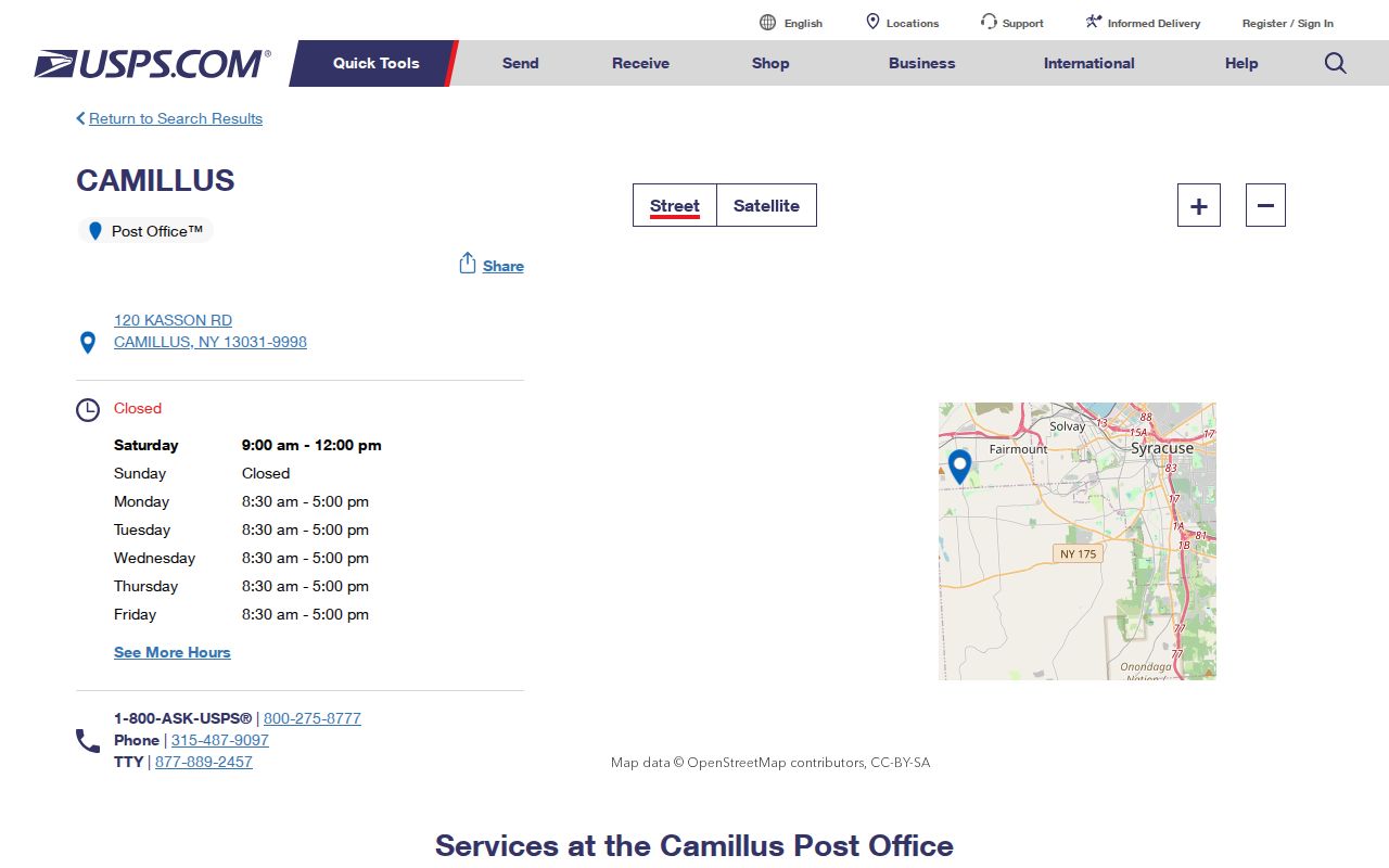
The location result confirms a postal facility and its listed postal address. It does not establish all delivery streets or who receives mail within the ZIP.
Camillus USPS Search Fields
The USPS inspection documented a small, practical group of fields. A complete street address gives the strongest postal check because it lets USPS return its delivery information for that address. City is a postal field, so it should not replace the Town of Camillus field maintained in a property or government record.
| USPS field or control | Input type | Use in a Camillus ZIP check |
|---|---|---|
| Street Address | Text | Enter the exact formatted address for the best delivery lookup. |
| City | Text or selection | Provide the postal city, which may differ from the legal town. |
| State | Selection | Choose New York. |
| ZIP Code | Text | Use as an alternate lookup input where the page mode permits it. |
| Find or Search | Button | Runs the delivery ZIP and city query. |
| CAPTCHA or consent | Conditional control | May be required by the live browser session. |
Exact rendered result labels and a live Camillus sample were not available in the text inspection. Do not promise a particular output column, ZIP+4, or neighborhood list until the live USPS response displays it for the address being checked.
Camillus Postal Lines
13031 is the documented Camillus postal association. The 13219 Syracuse postal line also appears on the Camillus Town Court address at 4600 W. Genesee Street, and some Town of Camillus addresses use that line. This is a postal and routing fact, not evidence that every 13219 address is in the Town or that every Camillus address has the same ZIP.
Keep the municipality, village or hamlet, county, postal city, ZIP, parcel number, and deed description in separate columns. Fairmount, Amboy-Belle Isle, Warners, and the Village of Camillus can appear as local, historical, or postal labels without being interchangeable legal jurisdictions. The Town occupies nearly 35 square miles and includes these communities, which is one reason a short postal label cannot carry all the geographic meaning.
Camillus ZIP Map Limits
Onondaga County’s ZIP boundary PDF and map gallery are useful orientation tools. The County warns that the lines are generalized and are not an official USPS map. Use the map to understand broad overlap, then use USPS for delivery questions and the assessor, GIS, tax map, or deed for legal property context. Do not trace a generalized line as if it marked a parcel boundary.
The Onondaga County map gallery presents the generalized ZIP-boundary map and its non-USPS-map warning.
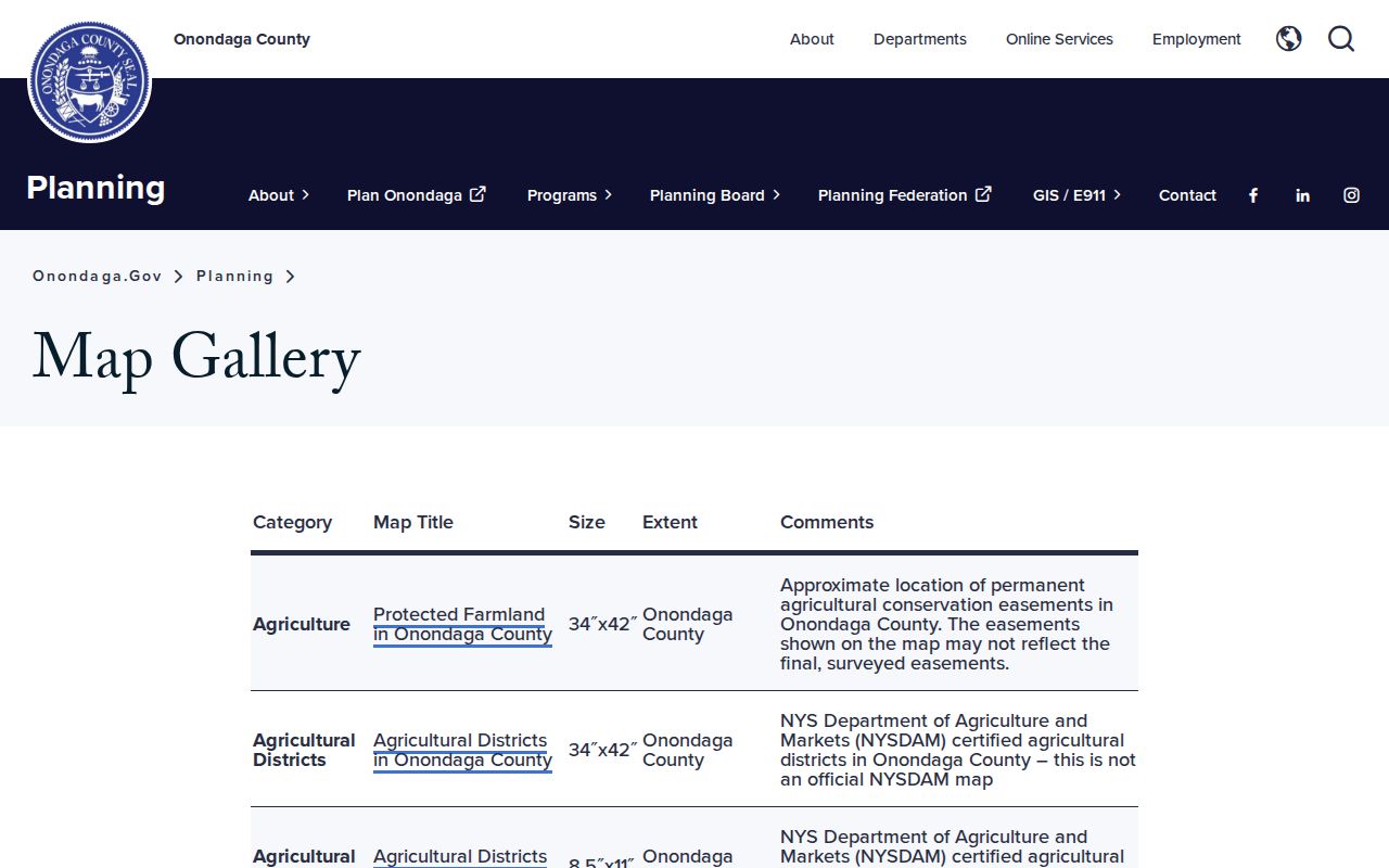
The map is most useful beside an exact-address USPS result and a dated parcel record. Its generalized labels should not be used to settle a delivery address or municipal boundary.
Note: For an address correction or a new number, confirm the issue with the Town, County GIS, and the responsible addressing contact instead of inferring it from a map.
Camillus Parcel Records by ZIP
A ZIP code does not reveal who lives there. USPS is a mail-delivery system, and the county map is a general geographic reference. For a current parcel, compare the USPS outcome with the Onondaga assessment information, its situs address, tax map, and deed legal description. The assessed owner is not proof that every person at the address lives there, and an owner mailing address may differ from the situs.
Image Mate and Beacon are public property routes, but the county warns that information supplied by town assessors may change before the final roll and is not guaranteed accurate, current, or complete. The public-use notice is part of the record context.
The Image Mate public-use notice displays the conditions and currentness warning associated with the county property-information route.
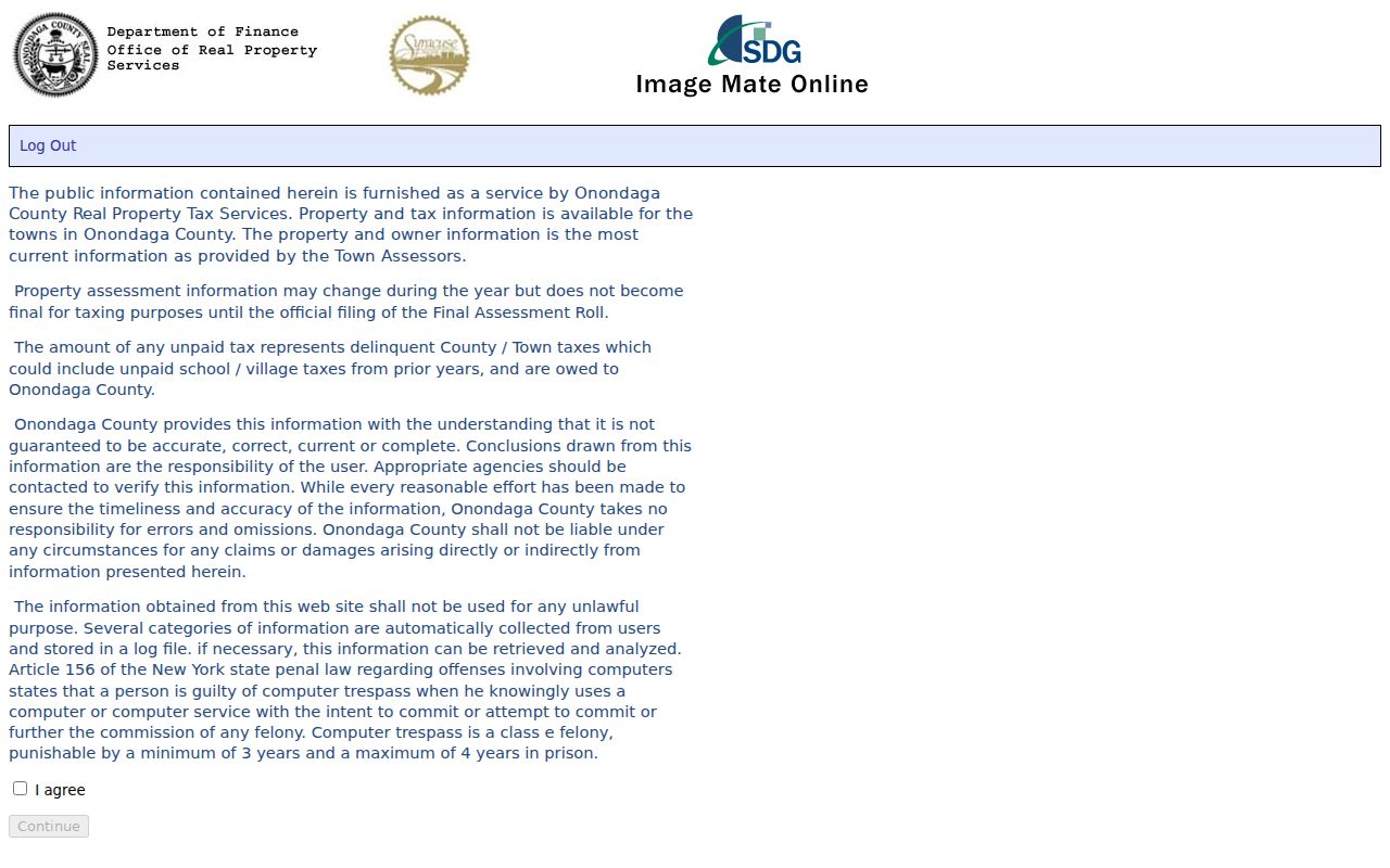
Pair the assessment source with a recorded deed or another dated custodian record when a result needs to be checked. A ZIP can help orient the search, but it does not convert the property record into a household roll.
When an online property result is incomplete, RPTS tax maps can be viewed through the county route or in person, and map copies can be requested by mail. The Camillus Assessor can address local cards and assessments by counter or phone. For a transfer question, the County Clerk offers the Cott guest index, available-image access, and counter or mail service. Each channel has a different record purpose, so keep the postal ZIP beside the parcel or deed reference instead of replacing it.
Camillus Voter ZIP Checks
The New York voter portal includes ZIP code among the information used for an individual lookup, along with county, last name, first name, date of birth, and address information. It confirms a person’s own registration or poll-site information; it is not a ZIP-wide resident list. The individual’s privacy and the purpose limits on voter data remain in force even when a ZIP is known.
For voter-registration data, a local or state FOIL request needs a description of the records and the election-purpose statement required by Election Law § 3-103(5). The Onondaga Board of Elections accepts registration forms at its office or by mail and has counter access for current questions. Protected registrations are excluded from public inspection or copying. Use the ZIP only as an address discriminator, not as a way to compile names.
Camillus Postal History Starts Earlier
For historical work, a printed post office is a valuable locator but not a modern ZIP equivalent. The Hamilton Child 1868-69 Onondaga directory can show a Camillus post-office label, lot number, occupation, acreage, advertising, or subscription notation. Its rural entries did not use a modern house-number format, so the post office and lot should be preserved exactly and compared with deeds, maps, and census material.
OCPL Local History and Genealogy holds Syracuse and suburban directories that can carry Camillus, village, rural post-office, or Syracuse labels, depending on the period and volume. The library holds some directories on microfiche from 1844 to 1862, microfilm from 1862 to 1935, and print from 1936 forward, with gaps possible. A dated post-office label can be the key that connects an old name to the right road or town context without claiming a present ZIP assignment.
Note: Record the historical directory title, publication year, page, printed post office, and lot or street form before normalizing any place name.
Camillus ZIP Terms
Postal terms describe delivery organization. They do not replace the parcel, municipality, or legal-description fields used in property research.
- ZIP Code
- A Postal Service delivery geography used to sort and route mail. It is not a municipal boundary.
- ZIP+4
- An added delivery detail used with a ZIP code for more precise mail routing. Verify it from USPS for the specific address.
- PO Box ZIP
- A ZIP used for post-office-box delivery. Its presence would identify a mail service, not the legal location of every address nearby.
- Carrier route
- A Postal Service delivery grouping. It is a routing concept, not a public list of residents or a town boundary.
For Camillus research, these postal terms belong beside the municipality and parcel record. They help sort mail but do not replace the town, county, or deed description.
Camillus Postal Boundaries Differ
ZIP boundaries and Town of Camillus limits answer different questions. The specific USPS result establishes a delivery ZIP and postal city line. The county’s generalized map supplies orientation. The RPTS and GIS records identify a parcel in local government systems, while the deed legal description records the land affected by a transfer. A difference among those labels can reflect mailing conventions rather than a bad record.
Keep both fields. Store the USPS postal city and ZIP beside the legal municipality, county, parcel identifier, and record date. Do not merge them into one location label.
Once a ZIP narrows the search to an address, use the Camillus street directory for the parcel, GIS, deed, and dated-address trail. That address-based process is more precise than a ZIP label alone.